Visual Example of the successive steps in the processing of a stereo image pair by the stereo pipeline
The stereo pair of the martian surface processed in this example was taken on July 6 1997 by the pathfinder lander. It shows partially on the right the flat rock called "Flat Top". The big round rock is called "Stimpy" and "little Flat Top" is visible on the left of the image. Its Location in the panorama is shown in the following image.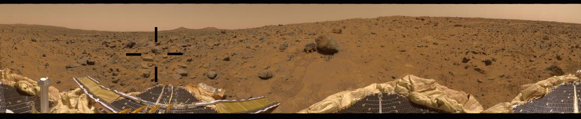
The original images:
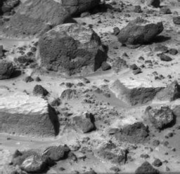

a color image of the same scene:

The preprocessed images

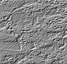
The raw disparity map

The cleaned disparity map

The range map

The dotcloud
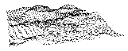
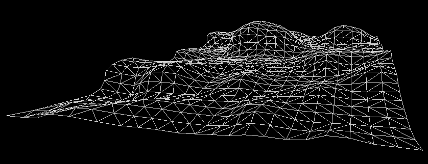
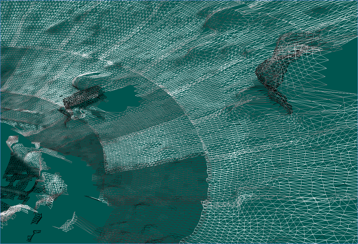
The wireframe mesh
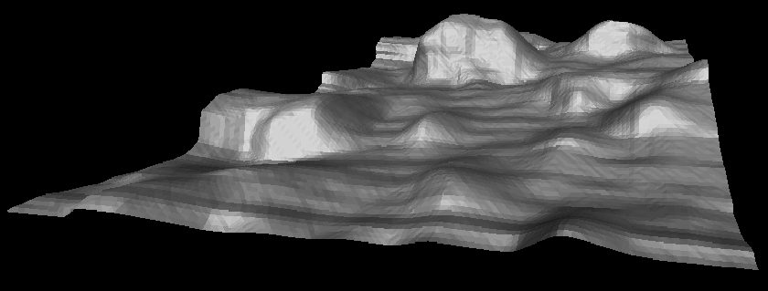
The wireframe mesh shaded
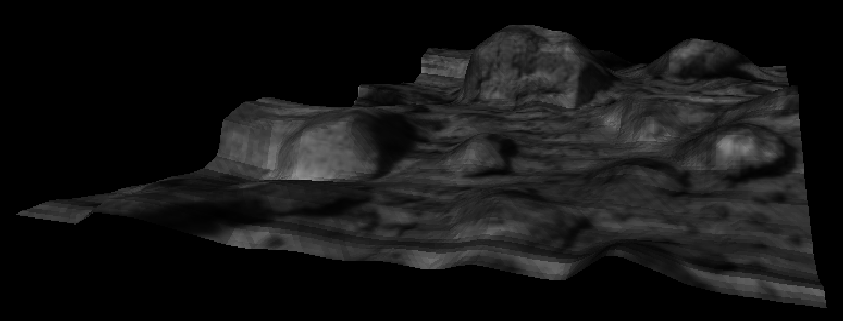
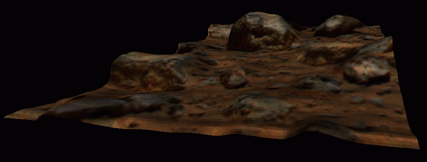
The textured mesh (with left image texture)
The textured mesh (with color texture)
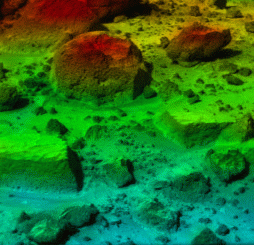
The stereo pipeline can create texture from topographical
caracteristic of the terrain. Here the elevation (altitude) is coded
by color.
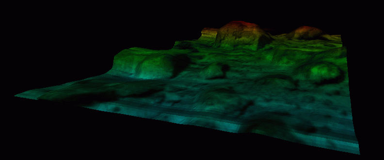
The textured mesh (with Elevation color texture)
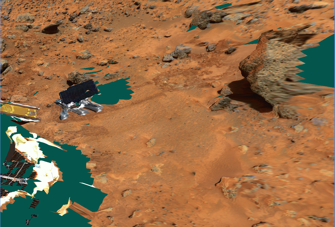
Multiple wireframe meshes assembled together
Multiple textured meshes assembled together