| Name | Last modified | Size | Description | |
|---|---|---|---|---|
| Parent Directory | - | |||
| BinaryMessages/ | 2006-10-20 17:01 | - | ||
| HEADER.html | 2009-01-19 22:47 | 830 | ||
| PostgisDemo/ | 2007-07-31 16:22 | - | ||
| ais-references.html | 2011-07-14 17:15 | 1.5M | ||
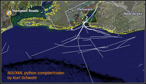
| ais-xml-front.png | 2006-12-18 11:29 | 201K | ||
| collection/ | 2012-03-06 17:51 | - | ||
| google_earth/ | 2006-10-27 15:04 | - | ||
| nais-georss-20100618T0405.xml | 2010-06-19 11:59 | 34K | ||
| specs/ | 2006-12-23 14:42 | - | ||
| test-data/ | 2012-10-30 20:38 | - | ||
| waterlevel/ | 2007-01-04 16:10 | - | ||